Mapping and Spatial Analysis of Socio economic and Environmental Indicators for Sustainable Development 1st edition by Noamen Rebai, Mohamed Mastere ISBN 3030211681 9783030211684
$50.00 Original price was: $50.00.$25.00Current price is: $25.00.
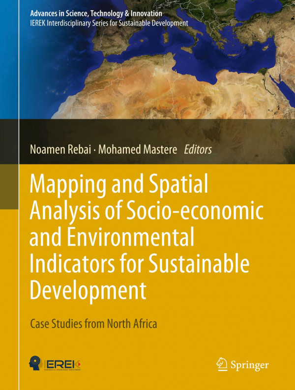
Mapping and Spatial Analysis of Socio-economic and Environmental Indicators for Sustainable Development 1st edition by Noamen Rebai, Mohamed Mastere – Ebook PDF Instant Download/Delivery: 3030211681, 978-3030211684
Full download Mapping and Spatial Analysis of Socio-economic and Environmental Indicators for Sustainable Development 1st Edition after payment
Product details:
ISBN 10: 3030211681
ISBN 13: 978-3030211684
Author: Noamen Rebai, Mohamed Mastere
This book presents most recent research studies on mapping and spatial analysis of socio-economic and environmental indicators used by various national and international contributors to regional development projects. It gathers the best contributions to the 1st International Conference on Mapping and Spatial Analysis of Socio-Economic and Environmental Indicators for the Local and Regional Sustainable Development. The conference was held in southern Tunisia, Tataouine in March 2015.The research studies focused on generating and analyzing indicators in various domains of Agriculture, Energy, Industry, Tourism, Transport, Urban Planning, Exploitation of Natural Resources, Infrastructure, Health, Environment, Education, Information and Communication Technologies, Social Affairs and Employability, and Culture and Sport. Socio-economic and environmental indicators are important in regional development plans and strategies as they allow to observeand analyze changes in the economic growth and to measure their impact on the environment and on social networks/daily life of citizens. On the basis of well-defined geomatic approaches, and particularly, through sophisticated digital mapping and spatio-temporal analyses, authors focused on retrieving indicators to evaluate the exploitation rate of natural resources, intensity of the energy consumption in various economic sector, net migratory flows, quality checking of the air in urban areas, adaptation to climate change, and vulnerability of the coastal domain and risk of marine submersion due to sea-level rise. The book is of interest not only to investors and contributors to regional development projects, but also to all relevant policy makers.
Mapping and Spatial Analysis of Socio-economic and Environmental Indicators for Sustainable Development 1st Table of contents:
Part I: Modelling and Spatial-Temporal Analysis
-
Mapping and Spatial Analysis of Sustainable Development Indicators to Optimize the Quality of Life Using AHP Methods: A Case Study Tataouine, Tunisia
-
A Qualitative Study of the Relevance of the WikiGIS Functionalities to the Collaborative Dimension of the Geodesign Process
-
Predicting and Assessing Journey Time Through the Application of Itinerary Selection in an Emergency Context
-
Multi-source Object-Based Approach for Spatio-Temporal Evolution of Land Cover
-
Comparative Analysis of the Classification of Maximum Reality (MVS) and the Spectral Angle Mapper (SAM) of an Aster Image: Case Study: Soil Occupancy in the Main Area (Tunisia)
-
Assessment Approach for the Automatic Lineaments Extraction Results Using Multisource Data and GIS Environment: Case Study in Nefza Region in North-West of Tunisia
Part II: GEORISK and Environmental Monitoring
-
Mass Movement Hazard Assessment at a Medium Scale Using Weight of Evidence Model and Neo-predictive Variables Creation
-
Evaluation of Morphometric Indices SL, LP, AD for the Spatial Analysis of Neotectonics and Recent Crustal Deformations: Case Study: Atlas Central, Tunisia
-
Hydrological Response to Snow Cover Changes Using Remote Sensing over the Oum Er Rbia Upstream Basin, Morocco
-
A Topo-Bathymetric Survey of the Morphological Evolution of a Microtidal Barred Beach: Case Study: The Coastal Prism of Korba (Mediterranean Coast; Northeast of Tunisia)
Part III: Management and Development of the Territory
-
Using Aerial Photography for Semi-automatic Extraction of Road Network at a Scale of 1:25000
-
Methodology of Updating Touristic Map Using Open Source and Open Spatial Data (OSOD): A Case Study of Ben Arous City, Tunisia
-
Open Remote Sensing Image Classification Using NDVI and Thermal Bands
-
Analysis of Noisy Satellite Image Using Statistical Approach
People also search for Mapping and Spatial Analysis of Socio-economic and Environmental Indicators for Sustainable Development 1st:
an introduction to r for spatial analysis and mapping
spatial epidemiological approaches in disease mapping and analysis
what is spatial analysis in gis
benefits of spatial analysis
how to use spatial analysis
Tags:
Noamen Rebai,Mohamed Mastere,Mapping,Spatial,Analysis,Socio economic,Environmental Indicators,Sustainable,Development 1st
You may also like…
Business & Economics - Mathematical Economics
Business & Economics
Sustainable Development in Southern Europe Spatial Analysis of Regional Challenges Eric Vaz
Politics & Philosophy - Government & Politics
Business & Economics - Industries
Politics & Philosophy - Government & Politics
Politics & Philosophy - Anthropology


